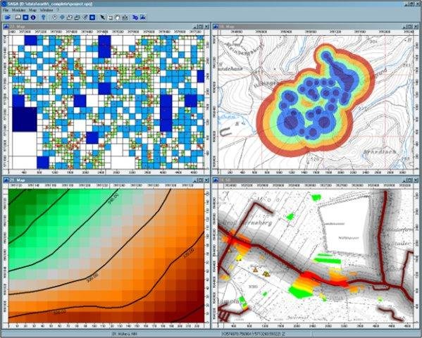
SAGA - System for Automated Geoscientific Analyses - is a Geographic Information System (GIS) software with immense capabilities for geodata processing and analysis. SAGA is programmed in the object oriented C++ language and supports the implementation of new functions with a very effective Application Programming Interface (API). Functions are organised as modules in framework independent Module Libraries and can be accessed via SAGA’s Graphical User Interface (GUI) or various scripting environments (shell scripts, Python, R, ...).
Please provide the following reference in your work if you are using SAGA:
Conrad, O., Bechtel, B., Bock, M., Dietrich, H., Fischer, E., Gerlitz, L., Wehberg, J., Wichmann, V., and Boehner, J. (2015): System for Automated Geoscientific Analyses (SAGA) v. 2.1.4. Geosci. Model Dev., 8, 1991-2007, https://doi.org/10.5194/gmd-8-1991-2015.
For more information visit the project homepage and the wiki.
Features
- Object oriented system design (C++)
- Modular structure allows framework independent function development
- SAGA API with immense support for geodata handling
- GUI for intuitive data management, analysis and visualization
- Runs on Linux as well as on Windows operating systems
- Portable software running without installation even from memory sticks (MSW)
- Free and Open Source Software (FOSS)
- Scripting via command line, Python, Java, R
- Far more than 450 freely available functions for geodata analysis
- Georeferencing and cartographic projections
- Grid interpolation of scattered point data, triangulation, IDW, splines, ...
- Vector tools: clipping, buffer zones, raster to vector conversion, ...
- Image analysis: filters, supervised classification, PCA, FFT, OBIA, ...
- Geostatistics: GWR, variograms, ordinary & universal Kriging, ...
- Terrain analysis: morphometry, hydrology, illumination, classification, ...
- and many more ...
Project Samples