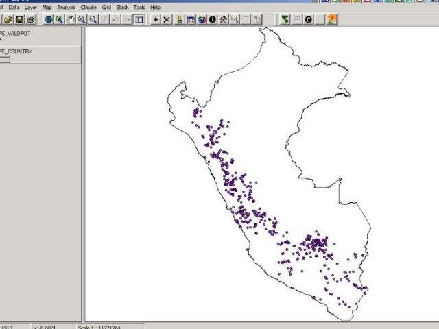
DIVA-GIS is a geographical information system to analyze plant biodiversity data. It was developed at the International Potato Center (CIP) to help curate it's genebank data; additional support was subsequently obtained from IPGRI.
Project Samples

License
GNU General Public License version 2.0 (GPLv2)Follow DIVA-GIS
Other Useful Business Software
Build Securely on AWS with Proven Frameworks
Moving to the cloud brings new challenges. How can you manage a larger attack surface while ensuring great network performance? Turn to Fortinet’s Tested Reference Architectures, blueprints for designing and securing cloud environments built by cybersecurity experts. Learn more and explore use cases in this white paper.
Rate This Project
Login To Rate This Project
User Reviews
Be the first to post a review of DIVA-GIS!