MorphoLim has been moved to sourcesup (https://sourcesup.renater.fr/morpholim/).
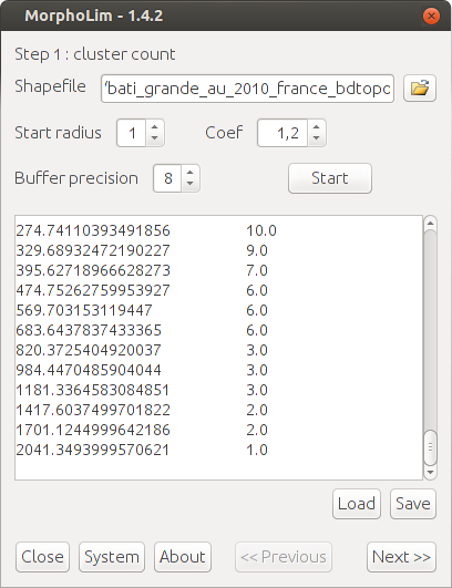
MorphoLim is dedicated to the identification of the morphological boundary of urban agglomerations. The method used avoids the need for any pre-defined maximum distance threshold between buildings. It is based on the conceptual and methodological tools of fractal geometry.
Authors of the application: Cécile Tannier, Gilles Vuidel, and Pierre Frankhauser (ThéMA, Besançon, France)
Project Samples


Categories
GISLicense
GNU General Public License version 3.0 (GPLv3)Follow MorphoLim
You Might Also Like
BrightGauge, a ConnectWise solution, was started in 2011 to fill a missing need in the small-to-medium IT Services industry: a better way to manage data and provide the value of work to clients. BrightGauge Software allows you to display all of your important business metrics in one place through the use of gauges, dashboards, and client reports. Used by more than 1,800 companies worldwide, BrightGauge integrates with popular business solutions on the market, like ConnectWise, Continuum, Webroot, QuickBooks, Datto, IT Glue, Zendesk, Harvest, Smileback, and so many more. Dig deeper into your data by adding, subtracting, multiplying, and dividing one metric against another. BrightGauge automatically computes these formulas for you. Want to show your prospects how quick you are to respond to tickets? Show off your data with embeddable gauges on public sites.
Rate This Project
Login To Rate This Project
User Reviews
Be the first to post a review of MorphoLim!