I have started this project in early 2003 (when there was no google earth, openstreetmap and the like). I was on a nice island and hiking. After I have found out, that there was no real map of this island I decided to create one.
You can import any gpx-Files and other formats from Websites or Smart-Watches.
Just edit your waypoints and tracks and visualize everything
---
You will need a pascal compiler (lazarus preferably) and the ylib-pascal library
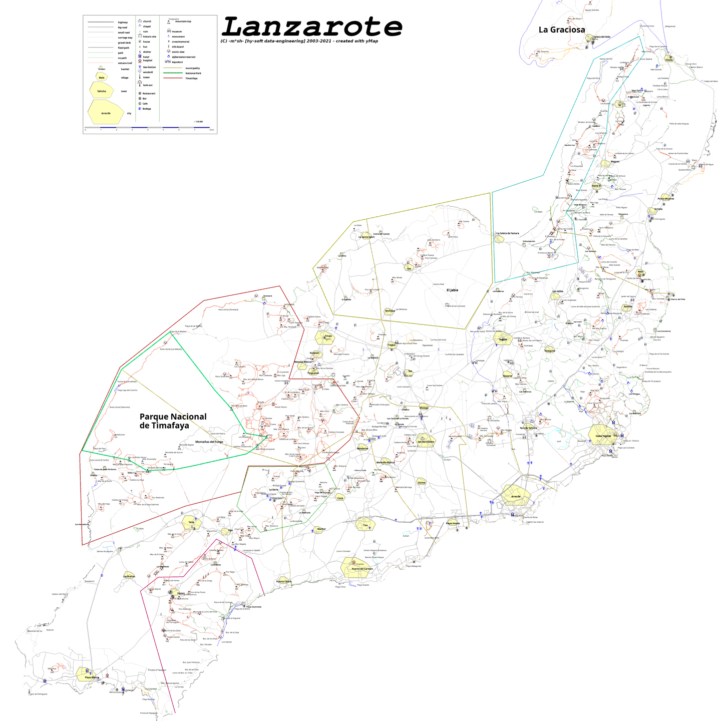
Project Samples
License
GNU General Public License version 3.0 (GPLv3)Follow hy-Map
Other Useful Business Software
$300 Free Credits for Your Google Cloud Projects
Launch your next project with $300 in free Google Cloud credits—no strings attached. Test, build, and deploy without risk. Use your credits across the entire Google Cloud platform to find what works best for your needs. After your credits are used, continue with always-free tier services. Only pay when you're ready to scale. Sign up in minutes and start exploring.
Rate This Project
Login To Rate This Project
User Reviews
Be the first to post a review of hy-Map!