
 Browse Code ▾

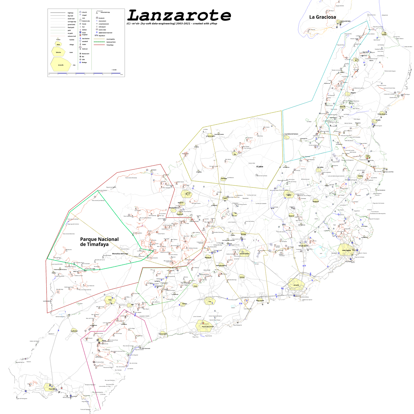
I have started this project in early 2003 (when there was no google earth, openstreetmap and the like). I was on a nice island and hiking. After I have found out, that there was no real map of this island I decided to create one.
You can import any gpx-Files and other formats from Websites or Smart-Watches.
Just edit your waypoints and tracks and visualize everything
---
You will need a pascal compiler (lazarus preferably) and the ylib-pascal library
Project Samples
License
GNU General Public License version 3.0 (GPLv3)Follow hy-Map
Other Useful Business Software
Endpoint Management with Remote Control Built In
Splashtop AEM handles patching, alerts, scripts, and inventory, and unattended remote control is included. When something needs hands-on work, you’re one click away instead of switching tools.
Rate This Project
Login To Rate This Project
User Reviews
Be the first to post a review of hy-Map!
