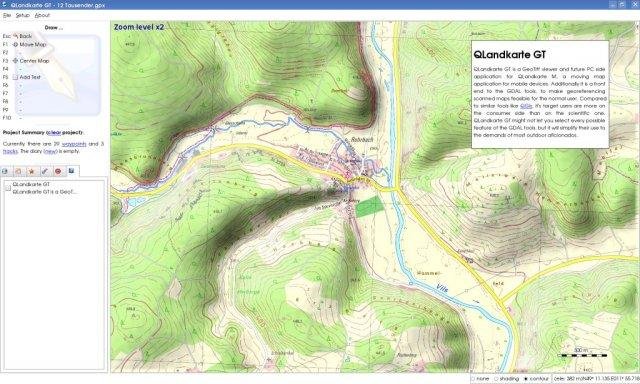
QLandkarte GT is the ultimate outdoor aficionado's tool. It supports GPS maps in GeoTiff format as well as Garmin's img vector map format. Additional it is the PC side front end to QLandkarte M, a moving map application for mobile devices.
Project Samples
Categories
GISLicense
GNU General Public License version 3.0 (GPLv3)Follow QLandkarte GT
You Might Also Like
Manage your enterprise’s compensation lifecycle and accurately recognize top performers with a digitized, integrated system. Keep employees invested and your HR team in control while preventing compensation chaos.
Rate This Project
Login To Rate This Project
User Reviews
There are no 1 star reviews.