This software inserts and remove the tags exif latitude, longitude and altitude in jpeg, tiff and png images performing the geo-positioning of images, it uses tracklogs of GPS devices.
Features
- Handles tags EXIF / IPTC in images: jpeg, png, tiff, pgf, psd.
- Add latitude, longitude and altitude to images files.
- Remove latitude, longitude and altitude from images files.
- Positioning geographically imagens using tracklogs GPS.
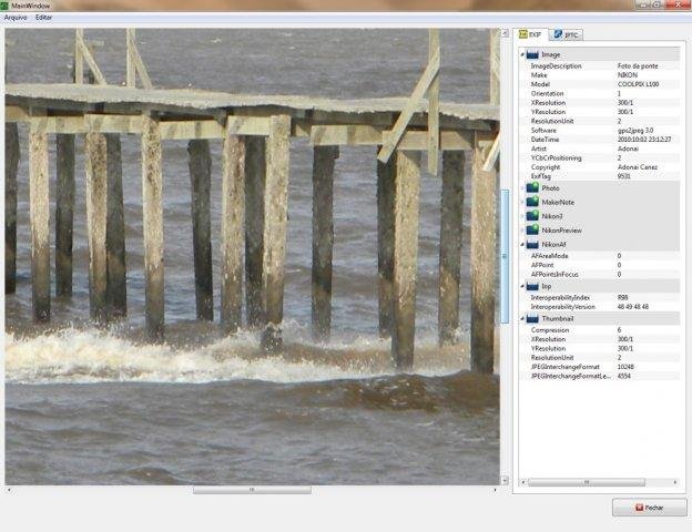
- Show all EXIF, IPTC and XMP informations.
Project Samples

Categories
Metadata EditorsLicense
GNU General Public License version 3.0 (GPLv3)Follow gps2jpeg
Other Useful Business Software
MongoDB Atlas runs apps anywhere
MongoDB Atlas gives you the freedom to build and run modern applications anywhere—across AWS, Azure, and Google Cloud. With global availability in over 115 regions, Atlas lets you deploy close to your users, meet compliance needs, and scale with confidence across any geography.
Rate This Project
Login To Rate This Project
User Reviews
Be the first to post a review of gps2jpeg!
