Menu
▾
▴

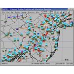
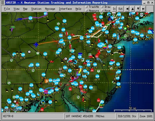
Activity in NE US, on county boundary vector map, with temp.
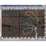
ICS and SAR Objects on air photo with contour lines from DRG
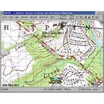
Weather station and mobile station on a DRG topographic map
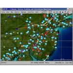
Activity in NE US, with vector and DRG map layers
Home
Real-time tracking & messaging of stations via radio/internet APRS data streams, w/125 map formats supported. Multiplatform and 7 languages. Can also be used for mobile mapping w/GPS. MAILING LISTS ARE AT: PROJECT->WEB SITE. Code on SF is frozen. Latest code is at http://github.com/Xastir/Xastir

Activity in NE US, on county boundary vector map, with temp.
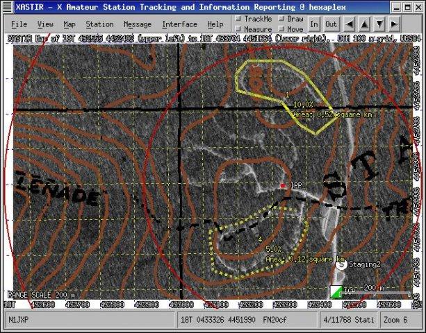
ICS and SAR Objects on air photo with contour lines from DRG

Weather station and mobile station on a DRG topographic map
Activity in NE US, with vector and DRG map layers
Project Admins:
