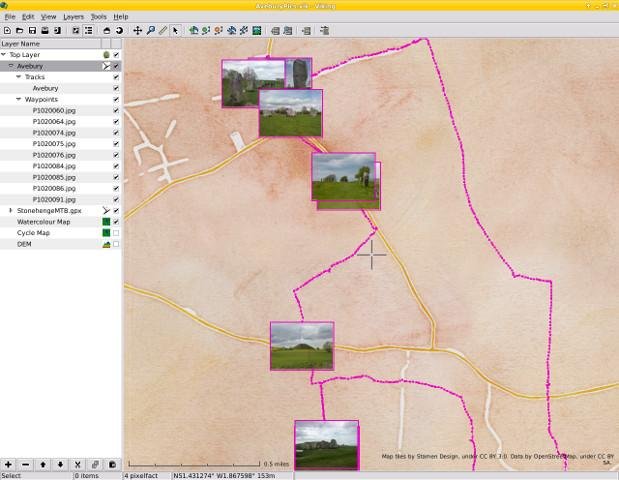
Viking is a free/open source program to manage GPS data. You can import, plot and create tracks, routes and waypoints, show OSM, Bing Aerial and other maps, geotag images, create routes using OSRM, see real-time GPS position (not in Windows), make maps using Mapnik (not in Windows), control items, etc.
It is written in mostly in C (with some C++) & the GTK+3 toolkit.
Viking is currently dual managed - with a corresponding Github presence at:
https://github.com/viking-gps/viking
Where you may find it easier to view the code and raise issues there too.
Features
- GPS
- GPX
- OpenStreetMap (OSM)
- Geotagging
- KML
- Mapnik Rendering
- TCX
- OSRM
Project Samples


License
GNU General Public License version 2.0 (GPLv2)Follow Viking GPS data editor and analyzer
You Might Also Like
When it comes to cybersecurity, what your clients don’t know can really hurt them. And believe it or not, keep them safe starts with asking questions. With ConnectWise Identify Assessment, get access to risk assessment backed by the NIST Cybersecurity Framework to uncover risks across your client’s entire business, not just their networks. With a clearly defined, easy-to-read risk report in hand, you can start having meaningful security conversations that can get you on the path of keeping your clients protected from every angle. Choose from two assessment levels to cover every client’s need, from the Essentials to cover the basics to our Comprehensive Assessment to dive deeper to uncover additional risks. Our intuitive heat map shows you your client’s overall risk level and priority to address risks based on probability and financial impact. Each report includes remediation recommendations to help you create a revenue-generating action plan.
Rate This Project
Login To Rate This Project
User Reviews
-
Tried various linux solutions with no success until I discovered Viking. Excellent GPS data interface. The maps just drop into place, creating and modifying waypoints is simple and intuitive, and the export formats work flawlessly on my Garmin. Much kudos for solid work.
-
Have an old eTrex Vista Hcx that I love and used MapSource with it on Windows for years even though both have been long since discontinued. Recently replaced Windows with Ubuntu 20.04 desktop, and was wondering if I'd be able to replace that old functionality in linux. Was really thinking that I wouldn't be able to. Well, after an all night long session of installing libs and compiling viking from source, (had to disable mapnix as it said it couldn't find the includes even though they are there), got viking and gpsbabel working! Even downloaded all of my tracks and waypoints from the GPS unit! I'm so happy I could cry. Thank you, and goodbye Windows.
-
Wonderful and useful map software. Love it. One GUI thing I'd like to see improved is reorder of layers when stacking. Dragging them right now has no effect.Reply from Viking GPS data editor and analyzer
-
Easy to use Can display the route and a map from openstreetmap. And one second later we can see our route on a satellite view. Great. Using Viking GPS to prepare my ways for ATV/quad. Vikinkg GPS helps me a lot to see where path are sometime not yet defined on Openstreetmap and sometime the opposite : the path we should not use because crossing the middle of a farm. Great developement. I like it very much.
-
Nice program to make bicycle tracks and transfer them to a map.