
 Browse Code

MorphoLim has been moved to sourcesup (https://sourcesup.renater.fr/morpholim/).
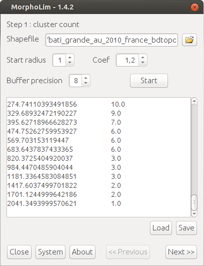
MorphoLim is dedicated to the identification of the morphological boundary of urban agglomerations. The method used avoids the need for any pre-defined maximum distance threshold between buildings. It is based on the conceptual and methodological tools of fractal geometry.
Authors of the application: Cécile Tannier, Gilles Vuidel, and Pierre Frankhauser (ThéMA, Besançon, France)
Project Samples


Categories
GISLicense
GNU General Public License version 3.0 (GPLv3)Follow MorphoLim
Other Useful Business Software
Build Agents and Models on One Platform
Gemini Enterprise Agent Platform is Google Cloud's comprehensive platform for developers to build, scale, govern, and optimize agents and models. Choose from Google's most advanced models and third-party models like Anthropic's Claude Model Family.
Rate This Project
Login To Rate This Project
User Reviews
Be the first to post a review of MorphoLim!
