Karto Wiki
Tool to work on map data, to check the data and generate your own maps
Brought to you by:
guyou,
karto_france
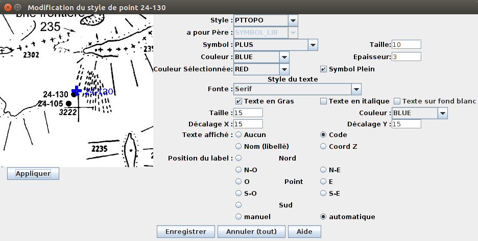
Karto allows to calibrate a scanned map with some known geo-points (Lambert, UTM, WGS84, ...). After that, you can add any points (GPS points) in the map to build your own map. You can also add a transparent GIF or PNG image in the map after calibration (cave, mine, roads, ...).
The programme is available in several languages (English, Spanish, French, ...). The main doc is in french, install and tutorial are available in english too.